
North American Super Computer Models Offer Conflicting Forecasts. One things for sure. There will be Winter Weather. The Question is, How Much.
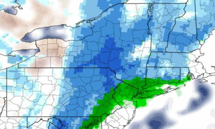
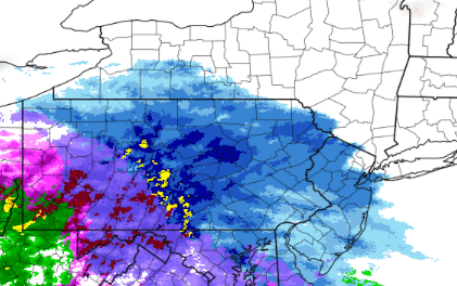
The North American Super Computer Forecast Model is showing a total accumulation of 2-4″ ending on Wednesday as temperatures rise, turning the precipitation to rain. While other models and forecasters are calling for up to 8″ total from the winter storm.
The Snow is to start tonight around 10PM with clouds rolling in starting Noon. Plan for a break in the winter weather Monday morning, starting again in the afternoon and lasting until Tuesday afternoon. The Precipitation is set to switch to rain Tuesday afternoon and continue into Wednesday early morning.
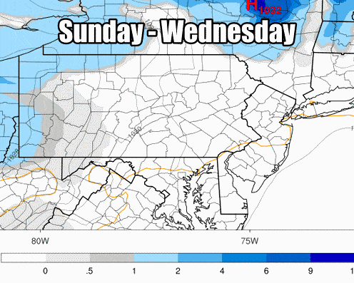
The important distinction coming from the temperature line over the next few days. If the temperature is off from the foretasted amount even a degree or two this storm has the potential to drop many more inches of Snow on the Susquehanna Valley.
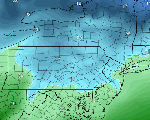
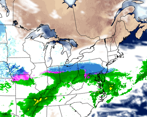
Green = Above Freezing Blue = Below Freezing
Stay with Susquehanna Signal during this storm for updates on Storm Forecasts.


